-
Sale!
 Out of stock
Uncategorized
Out of stock
UncategorizedRevit MEP Physical Class
Original price was: RM1,500.00.RM850.00Current price is: RM850.00. Read more -
Sale!
 Out of stock
Uncategorized
Out of stock
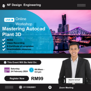
UncategorizedMasterclass Plant 3D
Original price was: RM300.00.RM99.00Current price is: RM99.00. Read more -
Sale!
 Out of stock
Uncategorized
Out of stock
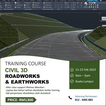
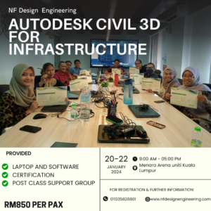
UncategorizedAutodesk Civil 3D for Infrastructure
Original price was: RM1,500.00.RM850.00Current price is: RM850.00. Read more -
Sale!
 Out of stock
Uncategorized
Out of stock
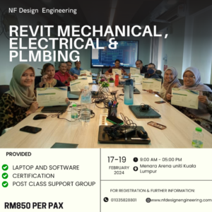
UncategorizedAutodesk Revit For Mechanical ,Electrical & Plumbing.
Original price was: RM1,200.00.RM850.00Current price is: RM850.00. Read more -
Sale!
 Out of stock
Uncategorized
Out of stock
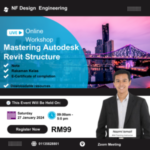
UncategorizedMasterclass Autodesk Revit Structure
Original price was: RM300.00.RM99.00Current price is: RM99.00. Read more -
Sale!
 Out of stock
Uncategorized
Out of stock
UncategorizedAutocad 2D & 3D Physical Class
Original price was: RM550.00.RM350.00Current price is: RM350.00. Read more -
Sale!
 Out of stock
Uncategorized
Out of stock
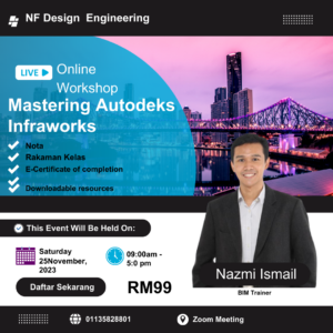
UncategorizedMasterclass Autodesk Infraworks
Original price was: RM300.00.RM99.00Current price is: RM99.00. Read more -

-
Sale!
 Out of stock
Beginner
Out of stock
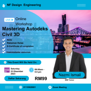
BeginnerMasterclass Autodesk Civil 3D
Original price was: RM300.00.RM99.00Current price is: RM99.00. Read more -

-
Sale!
 Uncategorized
Revit for Structure Essential Course
Original price was: RM350.00.RM250.00Current price is: RM250.00. Add to cart -
-
Sale!
 Uncategorized
Autodesk Inventor Essential Course
Original price was: RM350.00.RM250.00Current price is: RM250.00. Add to cart -
-
Sale!
 Uncategorized
Revit for MEP (Mechanical, Electrical & Plumbing) Essential Course
Original price was: RM350.00.RM250.00Current price is: RM250.00. Add to cart


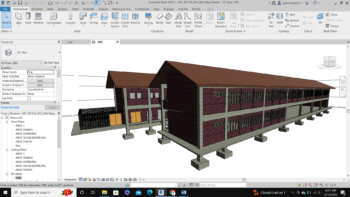
BIM
Building Information Modeling Service Provider
Kami menyediakan khidmat dan latihan untuk Building Information Modeling bagi projek swasta dan kerajaan. Projek yang kami terlibat untuk BIM: Pembinaan kilang pharmaceutical di Johor