Completion requirements
Civil 3D is a software to develop the road and infrastructure design, modeling & detailing.
In this course, we will learn how to utilize the survey data to produce ground model,
develop earthworks design and road design.
BIM for infrastructure is still new in Malaysia, so this is great opportunities for us to learn
this software and keep improvise our skills and idea from time to time.
We also provide the template to ensure the design, modeling and detailing follow our local
engineering practices.
Syllabus Cover for this Course
01_Introduction to Civil 3D

02_Survey Data

03_Existing Ground Surface Modeling

04_Survey Analysis

05_Collaboration in Civil 3D

06_Earthworks

07_Start Roadworks Project

08_Alignment Desing

09_Profile View

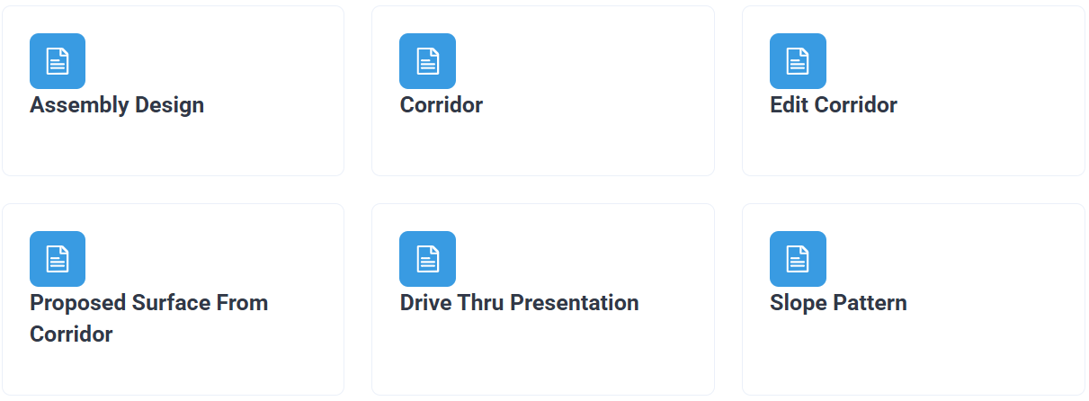
10_Assembly and Corridor

11_Plan and Profile Drawings

12_Cut and Fill Calculation Methods

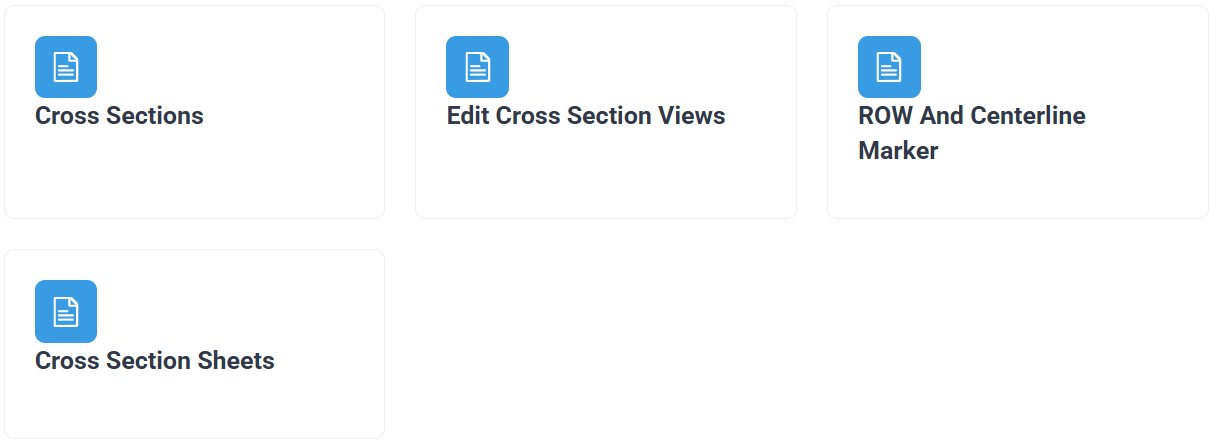
13_Cross Section Detailing

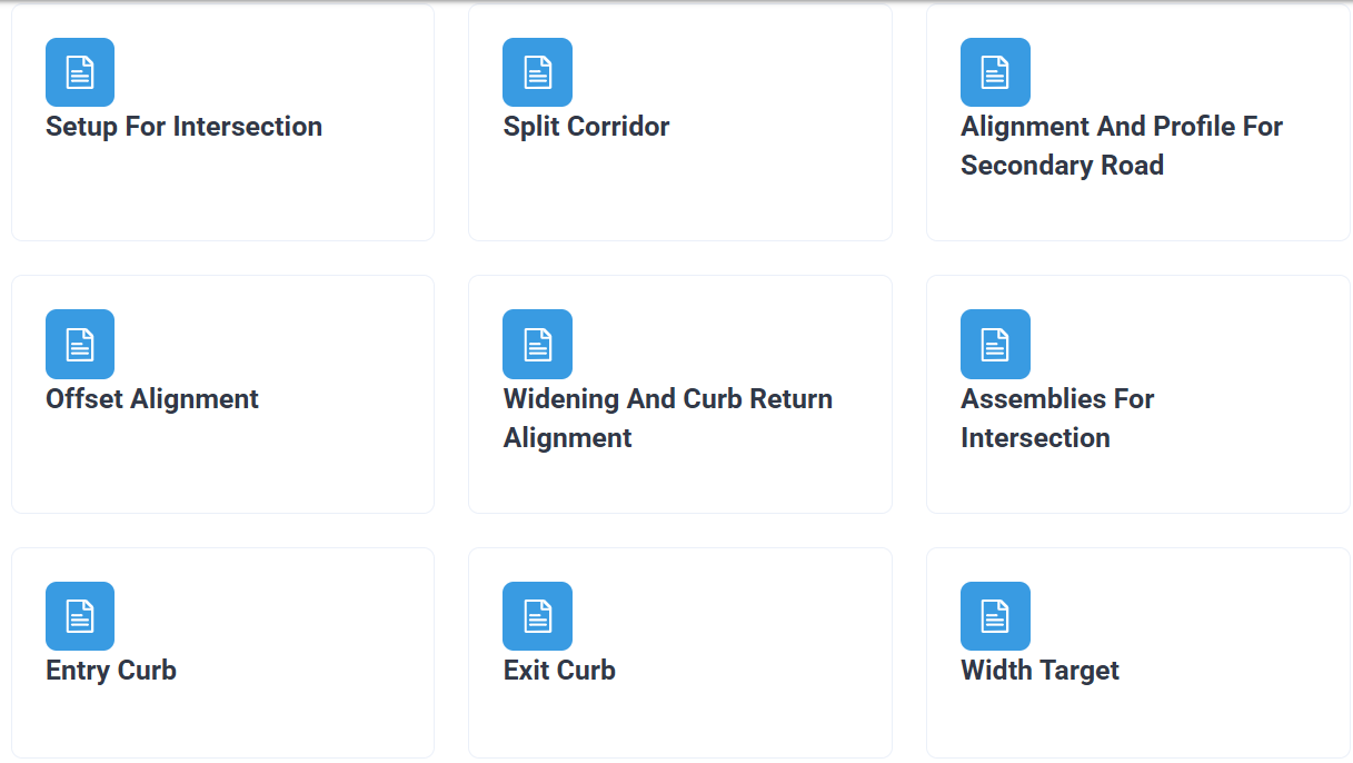
14_Road Intersection


Last modified: Sunday, 12 October 2025, 5:13 PM
